Performance Books
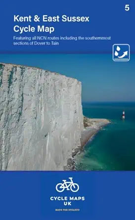
Kent and East Sussex Cycle Map 5: Including the Southern most sections of Dover to Tain
Kent and East Sussex Cycle Map 5: Including the Southern most sections of Dover to Tain
Couldn't load pickup availability
This is the first release in a brand‑new series of cycle maps covering the whole of the UK — and it sets the bar high. Produced at a super‑practical 1:100,000 scale, this map gives you a crystal‑clear view of the roads, trails and terrain you’ll be riding, whether you’re planning a quick local loop or a weekend adventure further afield.
All sections of the National Cycle Network are shown in distinct colours, with route numbers marked exactly as you’ll see them on the ground. Off‑road, on‑road and traffic‑free paths are easy to tell apart at a glance, making route‑planning simple even if you’re new to the area.
Beyond the NCN, the map includes other roads and classifications so you can link rides together, explore new corners of the countryside or create your own long‑distance routes. You’ll also find all the essentials marked clearly: toilets, pubs, accommodation, bike shops, repair stations and railway stations — everything you need for a smooth day out.
Relief shading gives you an instant sense of the landscape, helping you judge gradients and spot the steep climbs before you hit them. Printed on tear‑ and water‑resistant paper, the map is built to survive British weather and repeated folding.
Map details:
-
Scale: 1:100,000 (10mm = 1km, 16mm = 1 mile)
-
Folded size: 163 × 105mm
-
Unfolded size: 650 × 800mm
-
Double‑sided, durable and adventure‑ready
Whether you’re commuting, touring or just exploring somewhere new, this map makes planning your next ride easy, reliable and fun.
Share